
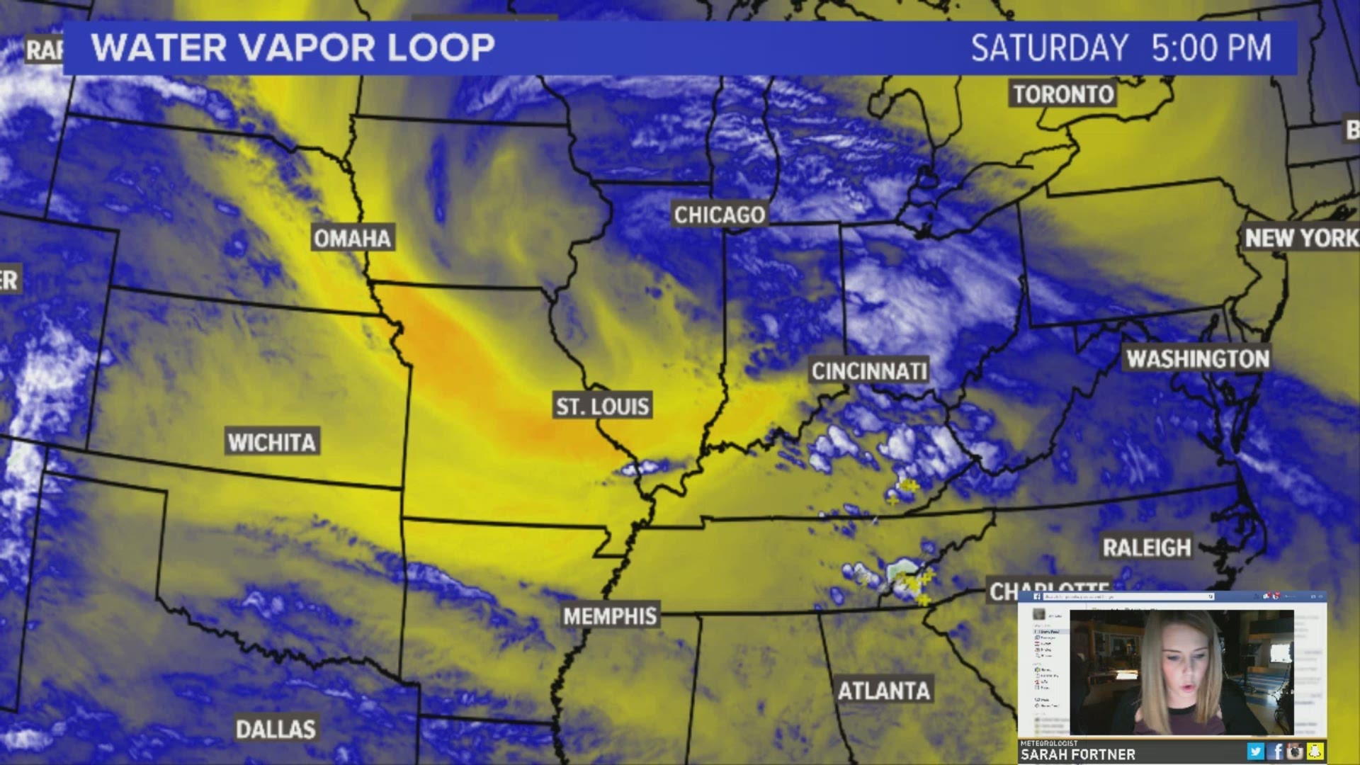
CHARLOTTE, N.C. -- A dreary weekend is well underway in the Carolinas.
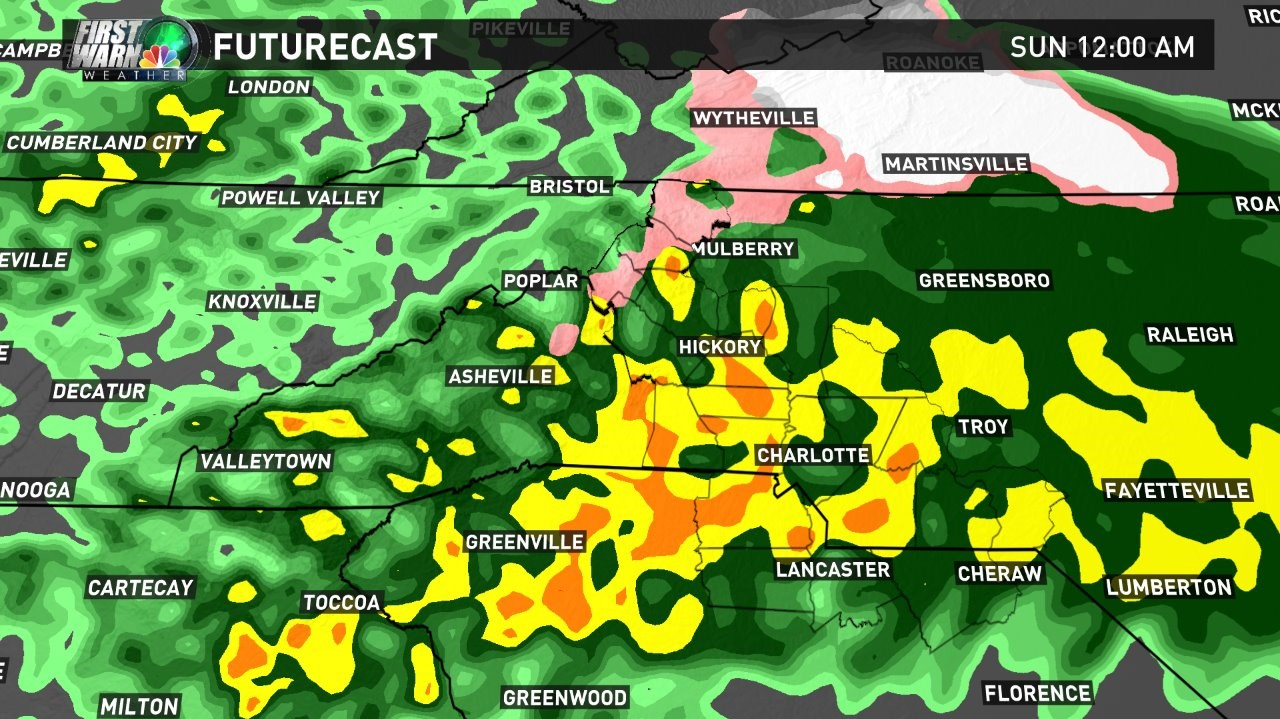
A cold rain will redevelop across the area as the evening progresses, with localized heavy downpours.
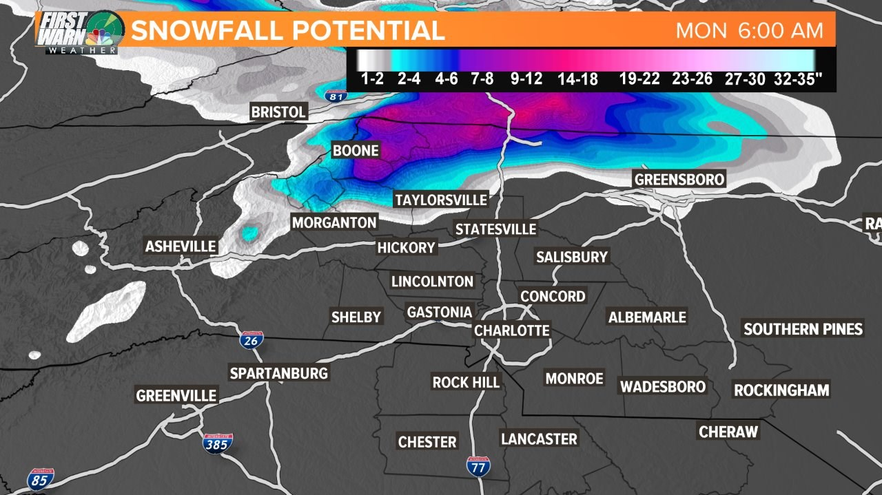
In the Mountains, a wintry mix will continue to fall, coating roadways and power lines, leading to potential power outages.
A very cold rain is expected early in the morning hours of Sunday, but rain will gradually taper off. The mountain wintry mix should also come to an end by mid-morning, with temperatures near freezing until about midday.
In the mountain communities, use caution on roadways, as black ice will be a concern early. Under a thick veil of cloud cover, temperatures near Charlotte will be well-below average, in the upper-40s to near-50.
On Sunday evening, clouds will be tough to break across the Piedmont, with temperatures falling into the mid-30s. In the High Country, there could be patches of light freezing rain in the early-evening hours of Sunday, coming to an end by daybreak Monday.
Cold air damming on Tuesday and Wednesday mean mostly cloudy skies and cool afternoons. Midweek, we will have a gradual warmup into the 70s. The Easter weekend outlook, for now, looks close to seasonal, but perhaps a chance for rain early in the weekend.