
CHARLOTTE, N.C. — A storm system moving toward the Carolinas won’t bring a lot of rain, but the storms that do pop up have the potential to be severe.
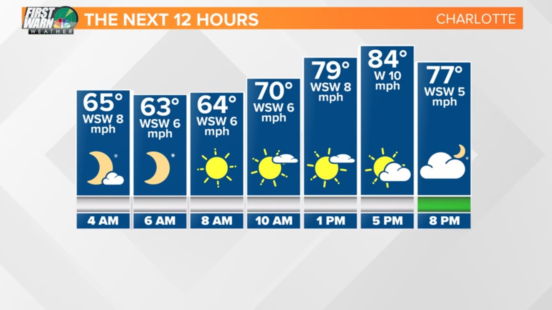
“There’s only going to be a 30% chance of rain today, but the storms that can get going could be severe,” said Chief Meteorologist Brad Panovich. “We might not see much of anything today until later tonight into tomorrow.”
A line of storms will develop late Wednesday night into early Thursday morning.
The storm will form in the mountains Thursday evening. At 2 a.m. a line of strong storms will push into the Carolinas coming from the east
“The thing that helps us is it’s 2 o’clock in the morning and the atmosphere is cooling down. The system has to cross the mountains, which have cooler air,” Panovich explained.
As it pushes east it will likely maintain some kind of momentum of wind. The overall threat for the Charlotte area is not tornadoes, but straight line winds and hail. The tornado threat in the Charlotte area is less than two percent.
RELATED: WCNC has a new app, download it here
The storms will weaken into the Charlotte area around 7 a.m. Thursday. With the heating of the day Thursday the storms could bubble up
“I don’t expect a lot of storms,” Panovich said. “The problem is any storm could be severe.”
Currently all of the Carolinas are under a low or medium threat for severe storms.