

CHARLOTTE, N.C. — The weather has not been delightful here in the Carolinas recently but this weather is a gift compared to the historic storm that will be turning Texas into a snowy and icy mess tonight into tomorrow.
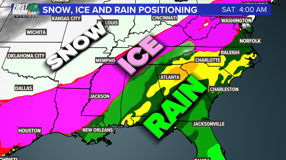
The Carolinas are mostly in the rain window through this week but the central parts of our neighbor Tennessee, including Nashville, are in light to see some significant measurable ice which will be problematic to crippling locations in the pink ice map below. This stretches from central/eastern Texas all the way up into New England. Snow will fall starting in Northern Texas and will continue all the way up to New York.

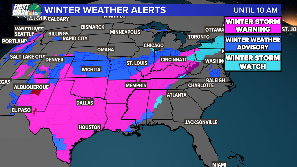
Winter Storm Warnings are taking up most of Texas and extend until Monday afternoon to tomorrow evening. These are for either accumulating ice or significant snow for this area.

The Ice:
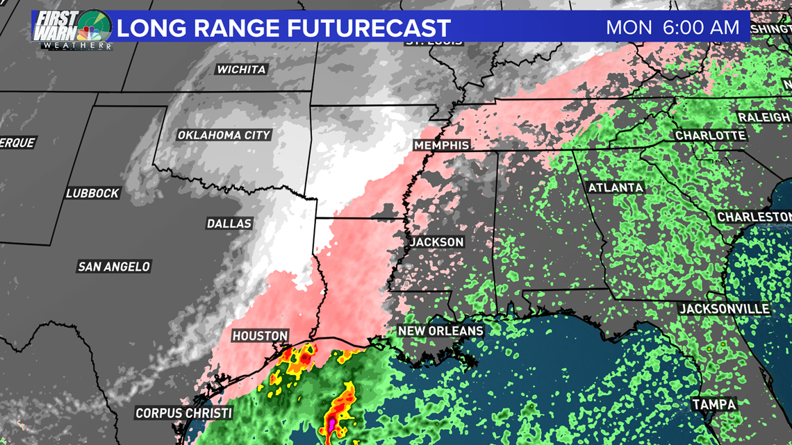
Below is a look at when the accumulating ice could be at its peak. Central Louisiana Monday morning especially could see significant ice accumulations from freezing rain up to over 0.25". This is a problematic range where everything becomes ice-covered. At 0.5" of rain powerlines can fall leading to widespread power outages which will likely happen for thousands to millions of people along this area of pink. Ice potential will begin to lighten as this storm moves north into Pennsylvania but will still be at a dangerous ice potential moving through Tennessee, leaving the Carolinas alone.

The Snow:
A range of 3-6" is possible for Northern Texas, Oklahoma, and Arkansas. The peak snow totals will likely top out at a range of 6-12" becoming heaviest through Monday into Monday evening for the Kentucky area. After that, this storm will weaken some. Also on the backside of this system, the winds will increase which could cause some Blizzard conditions in Texas. Texas already had a catastrophic pile-up with over 100 vehicles involved.
Some areas will be undrivable and this will be a major weather story to start the workweek. Thoughts and prayers and hoping everyone will be okay. Tell anyone you know that could be impacted, especially in the ice accumulation zone (pink), to be safe and avoid driving if they can.