CHARLOTTE, N.C. — Scattered storms returned to the Charlotte-area weather forecast Monday, according to WCNC Charlotte Chief Meteorologist Brad Panovich.
Through the afternoon hours, the possibility of seeing scattered storms increased. Parts of Rowan and Iredell counties were under Severe Thunderstorm Warnings for part of the evening, but those warnings have since expired.
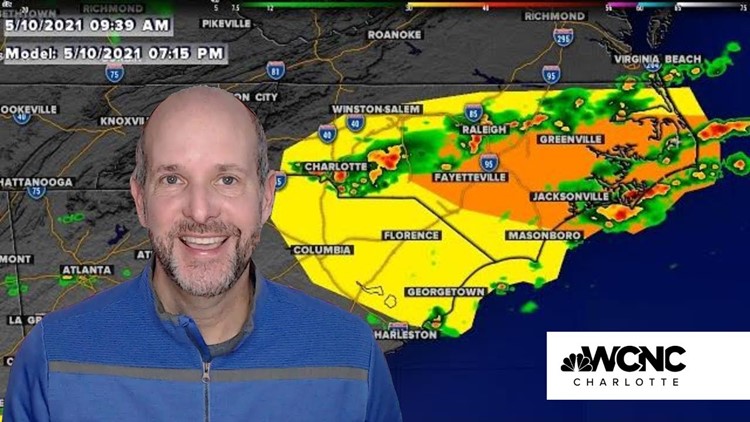
"We probably have a better chance of organized storms over the Triangle," Brad said in his morning weather vblog on YouTube. "If we were going to see a tornado risk, it would be in that area."

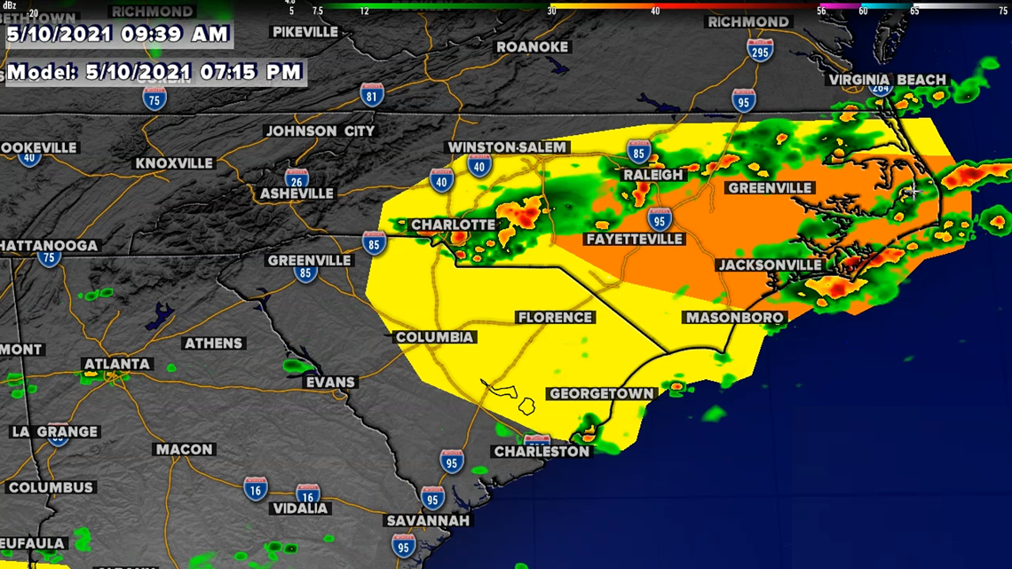
When a thunderstorm has the potential of producing damaging 60 mph winds or one-inch size hail, the National Weather Service will issue a severe thunderstorm warning for that particular storm.
Monday afternoon's storms are riding along a cold front that will eventually lead to a cooling of temperatures throughout the rest of the week. The storm threat is being fueled by warm, moist air that built up throughout the afternoon hours.
Overnight and early Monday morning, scattered storms rumbled through the greater Charlotte area.
High temperatures Tuesday, Wednesday, and Thursday will remain in the 60s with persistent clouds and showers.
"There's a chance we could get wedged in this week," Brad said.
The wedge, as it is commonly called, occurs when cold air damming traps moisture and clouds across the terrain of the western Carolinas. As a result, the region experiences weather that can often feel cloudy and gloomy. The phenomenon is sometimes also referred to as CAD, which is an abbreviation of cold air damming.