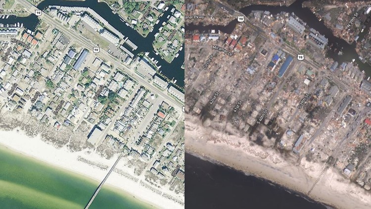
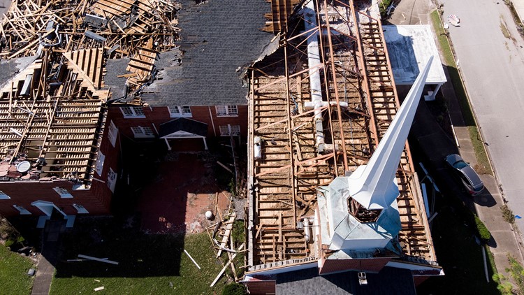
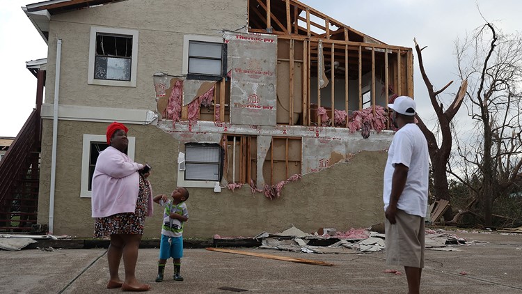
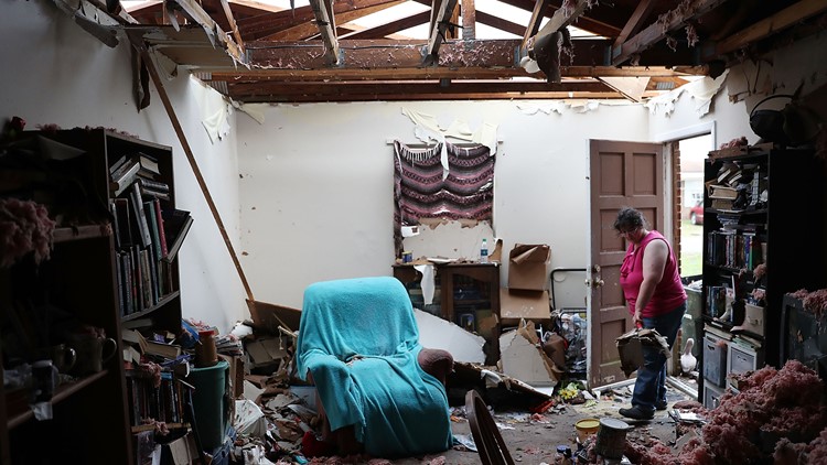
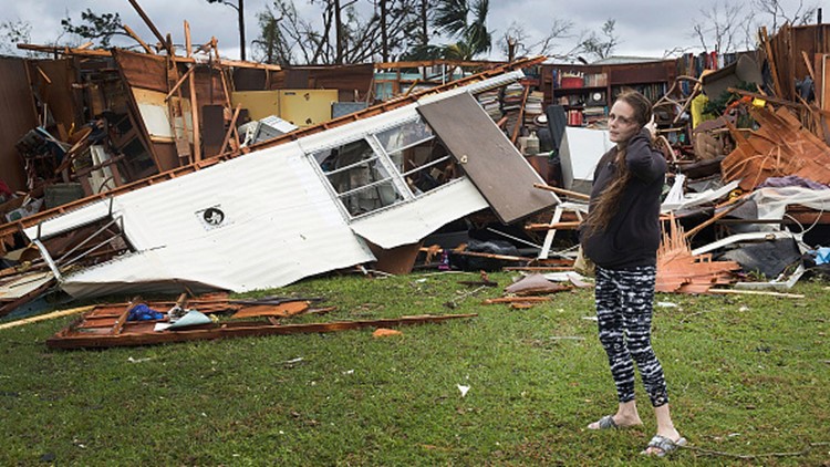
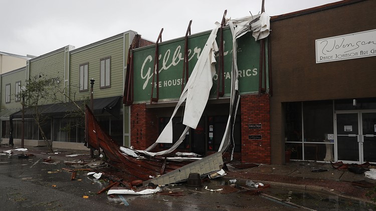
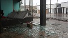
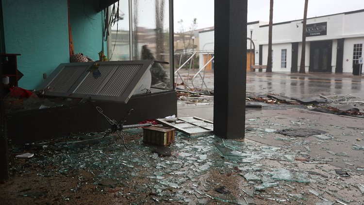
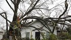
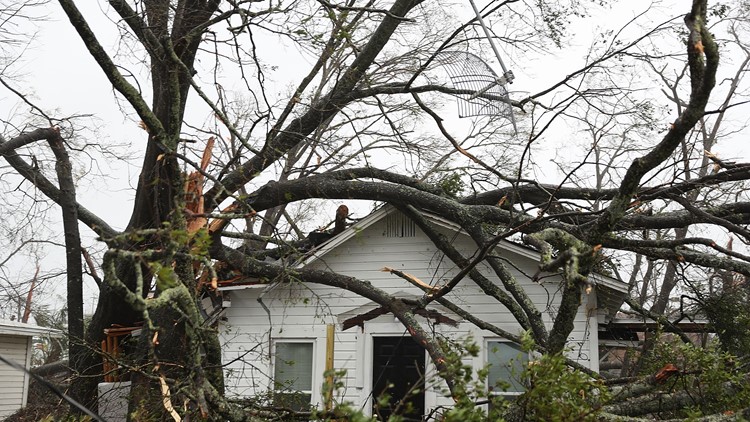
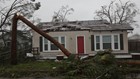
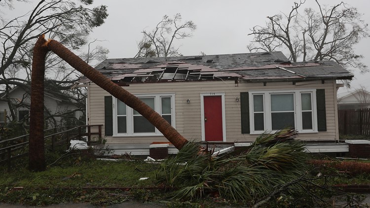
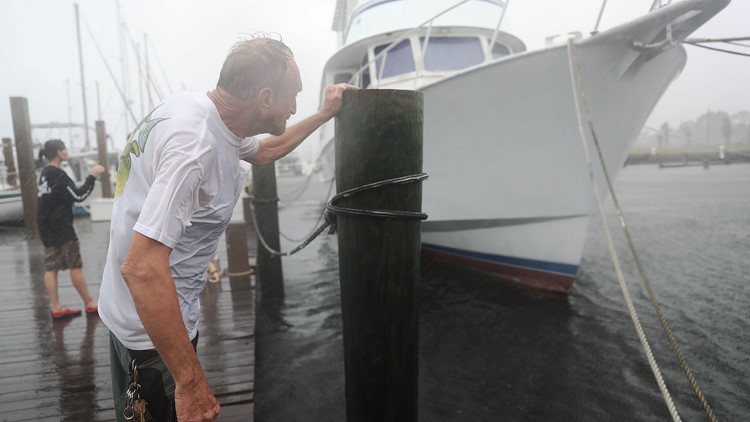
MEXICO BEACH, Fla. — Nearly two days after landfall, we are finally getting better looks at the widespread devastation Hurricane Michael left along the Florida Panhandle.
The National Oceanic and Atmospheric Administration (NOAA) has a website that allows you to view satellite images from before and after the storm. The storm made landfall near Mexico Beach, just east of Panama City, Florida, leaving catastrophic damage everywhere in its path. Michael was the third-strongest hurricane to ever make landfall in the United States and the strongest to ever hit the Florida Panhandle.

To view before and after satellite images of the damage, click here. Just click Hurricane Michael, then in the upper right corner select MapBox Satellite. You can then click and unclick the October 11, 2018 button to see before and after images.
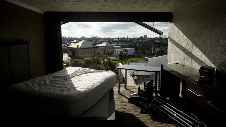
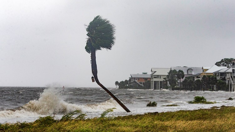
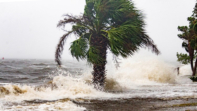
The Category 4 hurricane's 155 mph winds and storm surge lifted whole houses off their foundations and ripped roofs off hundreds of structures along the Gulf Coast.
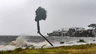
PHOTOS: Hurricane Michael slams Florida Panhandle

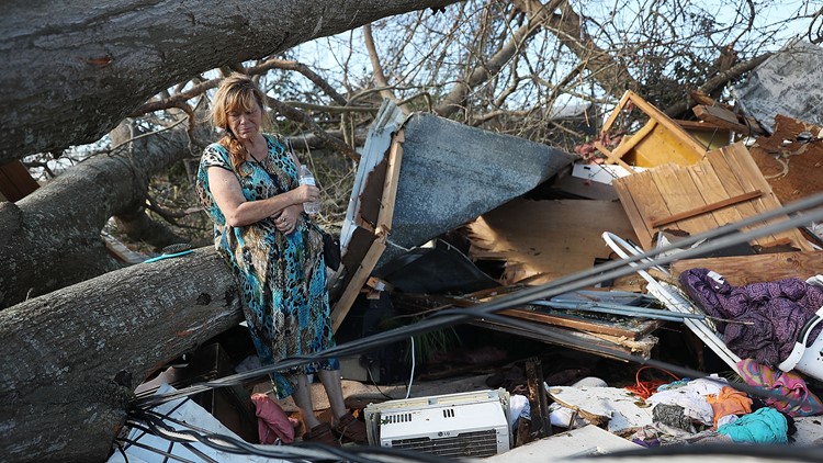


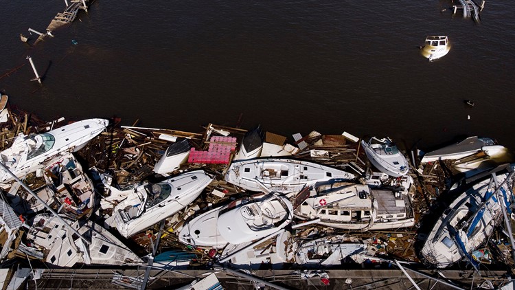


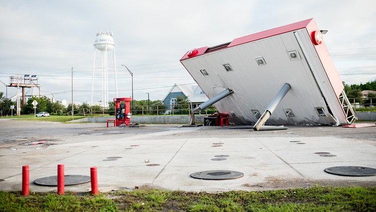


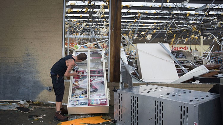
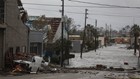
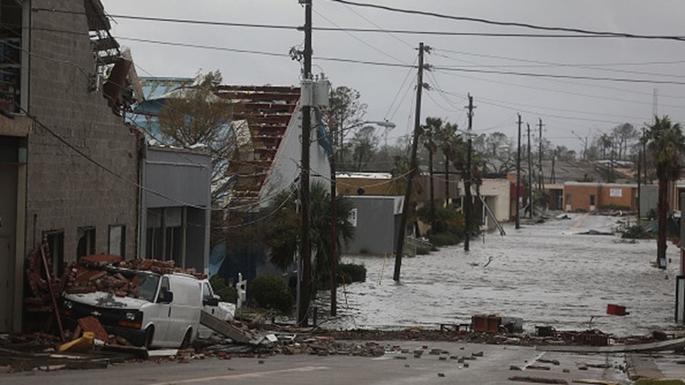

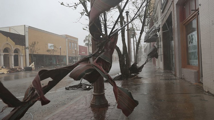

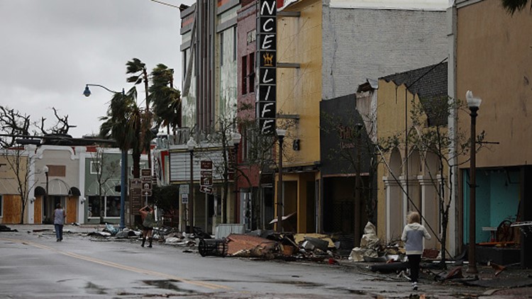
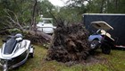


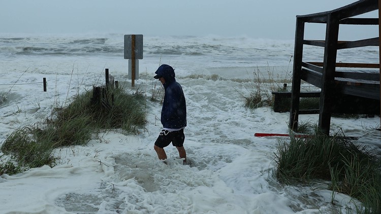


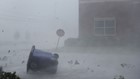
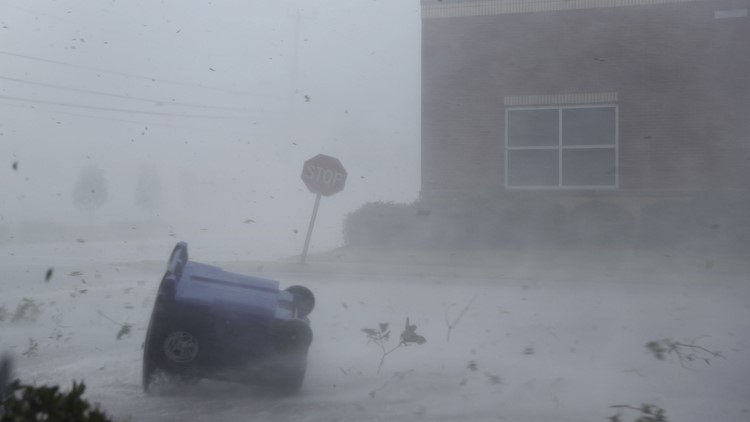
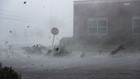
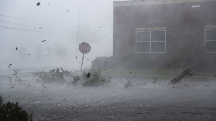


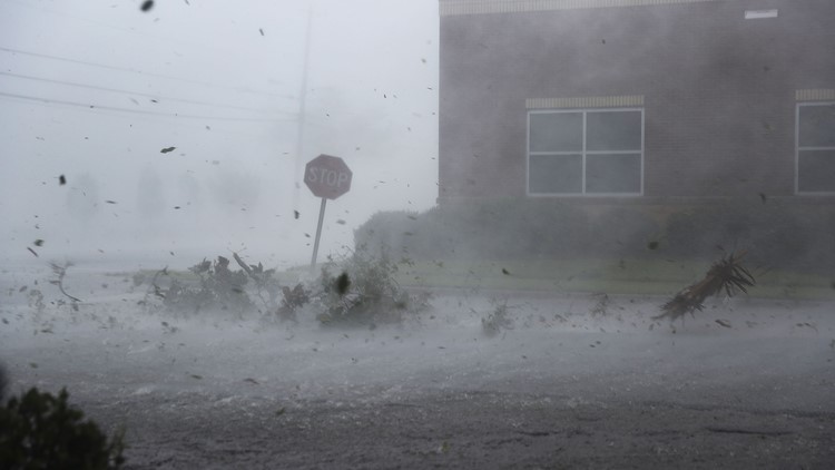


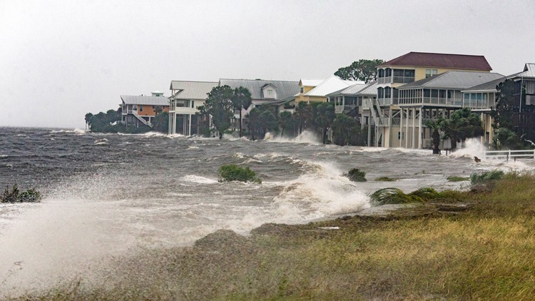


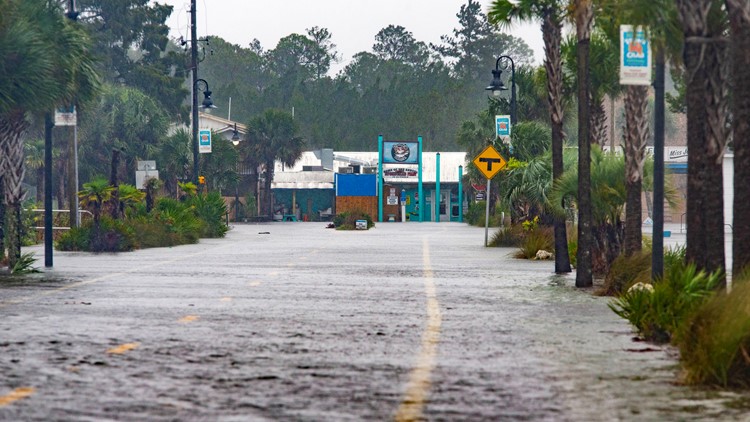
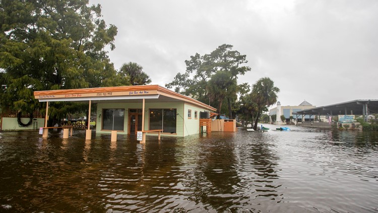
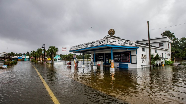


An 80-mile stretch of I-10 west of Tallahassee, Florida, was closed to clear debris. Beaches disappeared, military bases were damaged, cars and trucks were flipped and smashed. Power outages affected more than 650,000 customers in the two states alone. Alabama, South Carolina and North Carolina reported hundreds of thousands of more outages.