
CHARLOTTE, N.C. -- This week is Hurricane Preparedness Week in North and South Carolina and it's a good time to refresh our knowledge of these powerful storms.
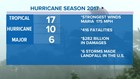
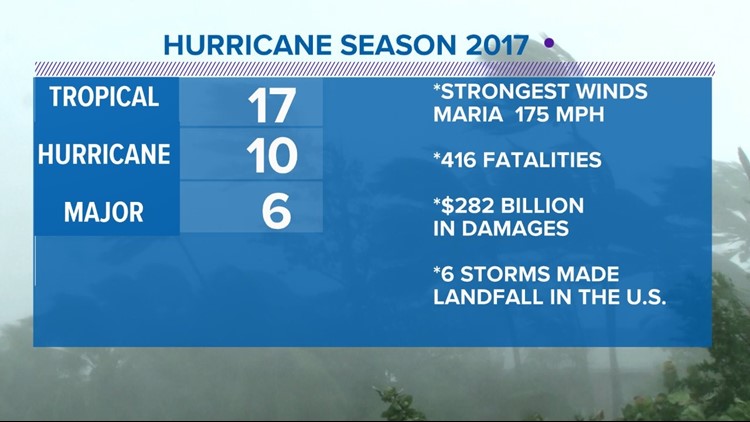
Last season was one to remember with 17 named storms, 10 of which reached hurricane status and six grew into major storms of Category 3 or higher. Maria was the most robust tropical system with sustained winds at reached 175 mph and gusts that topped 200 mph. There were 416 fatalities directly related to the storms and more than a thousand indirectly.
The 2017 Atlantic Hurricane Season was the most costly with an estimate of $282 billion in damages. Of the 17 storms that developed last year, six made landfall in the United States, Puerto Rico and the Virgin Islands. In some cases, there were multiple landfalls from a single storm.
Hurricane can produce several different hazards such as storm surge, coastal beach erosion, high winds, flooding and tornadoes. Storm surge and beach erosion don't happen in the Charlotte area, but the others do.
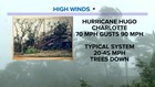
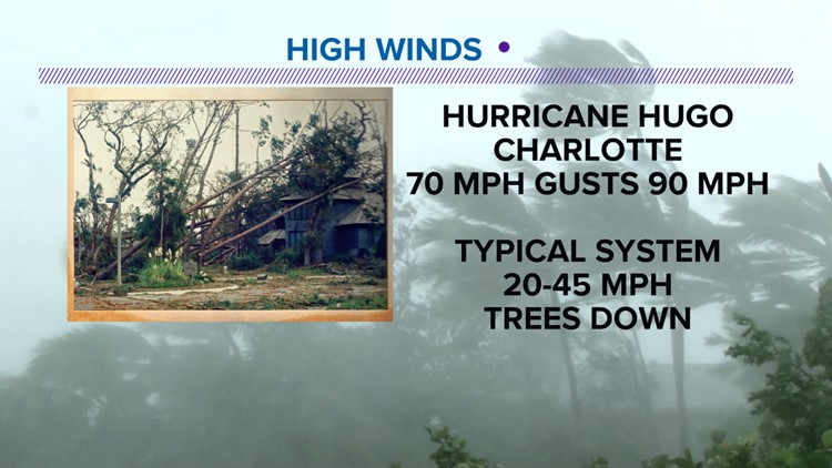
Hurricane Hugo in 1989 produced the strongest winds in the Queen City as the sustained winds were measured at 70 mph and gusts reached 90 mph. These powerful winds destroyed a significant portion of the cities tree canopy. Typically, hurricanes weaken as they enter the Charlotte area, 20 to 45 mph winds are more likely. The saturated ground in combination with the strong winds will bring down trees across the city.
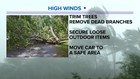
If one of these tropical systems approach the Charlotte area, there are several things you can do to prepare. Keep your trees trimmed, clear out any dead branches, secure loose outdoor items and move your car to a safe area.
Tornadoes often do occur with tropical systems. Just last year, Hurricane Nate spawned several twisters in the foothills of North and South Carolina. The prime area for hurricane-induced tornadoes is on the right-hand side of the track of the storm.
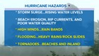
PHOTOS: Hurricane preparedness week
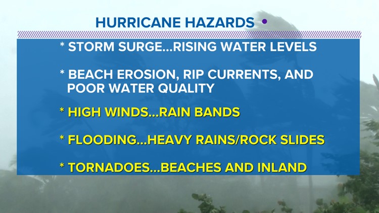


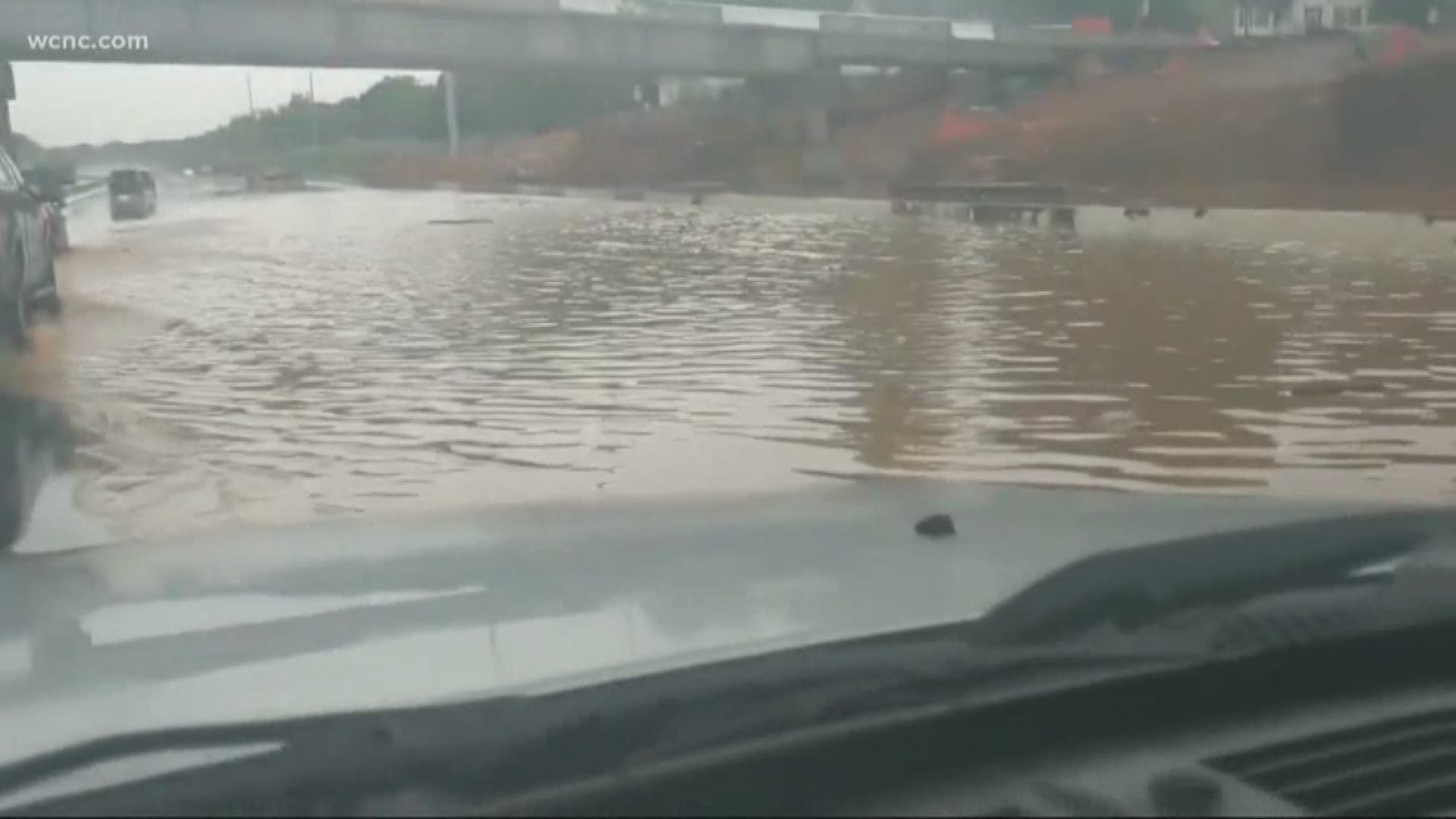
Flooding is the deadliest hazard. Slow-moving tropical systems can drop as much as 6 to 10 inches of rain in a day. In the case of Hurricane Harvey in 2017, some locations near Houston received more than 40 inches of water.
When it comes to rainfall and flooding, the strength of the storm is not as important. A weak tropical storm can drop as much, if not more, than a Category 5 storm. Remember the saying, "turn around don't drown."
If you can't see the road under the water, don't cross, as the pavement may not be there.