
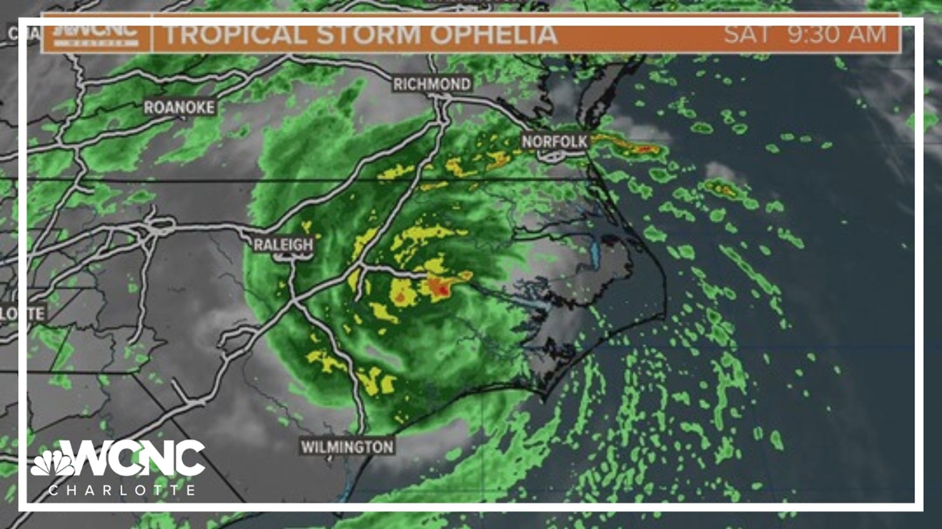
CHARLOTTE, N.C. — As of 11 a.m. Saturday, Ophelia is 175 miles north-northeast of Cape Fear, North Carolina. The storm has maximum sustained winds of 50 mph as it has weakened slightly since making landfall.
Tropical Storm Ophelia formed Friday afternoon off the Carolina coast. It was previously deemed Potential Tropical Cyclone Sixteen.
The biggest threat from the storm will be flooding from storm surge, according to WCNC Charlotte Chief Meteorologist Brad Panovich.
In his forecast analysis video posted Friday morning to the WCNC Charlotte Weather IQ YouTube channel, Panovich also warned of heavy rain and gusty winds near the coast.
In the Charlotte area, wind gusts will peak between 30 - 35 mph Friday night through midday Saturday. Local rainfall totals will hover around a quarter inch for the metro with higher totals for our eastern communities, maxing out around an inch. Rain will wrap up Saturday evening.
The Threats
Life-threatening sea level rise along the east coast is the largest threat there. Three-to-five feet of surge is possible for parts of coastal North Carolina and Virginia. One-to-three feet is possible for the South Carolina coast and through Maryland, Delaware and New Jersey.
Between two and four inches of rain are possible, too, with isolated totals up to six inches. Wind gusts will peak between 45 and 55 mph. Gusts could peak as high as 60 to 70 mph.
Some of the heavy rain and wind could stretch further inland into locations such as Raleigh, Greensboro, and Fayetteville. Charlotte could be the western edge of forecast impacts, with communities east of Charlotte more likely to see any impacts.
What is a 'potential tropical cyclone'?
Ophelia was initially referred to by the National Hurricane Service as a 'potential tropical cyclone' track. This is one of the National Weather Service's (NWS) advisory products that describes "a disturbance that is not yet a tropical cyclone, BUT which poses the threat of bringing tropical storm or hurricane conditions to land areas within 48 hours." This is a relatively new advisory, first implemented back in 2017.
WCNC Charlotte’s Weather IQ YouTube channel gives detailed explainers from the WCNC Charlotte meteorologists to help you learn and understand weather, climate and science. Watch previous stories where you can raise your Weather IQ in the YouTube playlist below and subscribe to get updated when new videos are uploaded.