CHARLOTTE, N.C. — Enjoy the nice weather while you can, Charlotte.
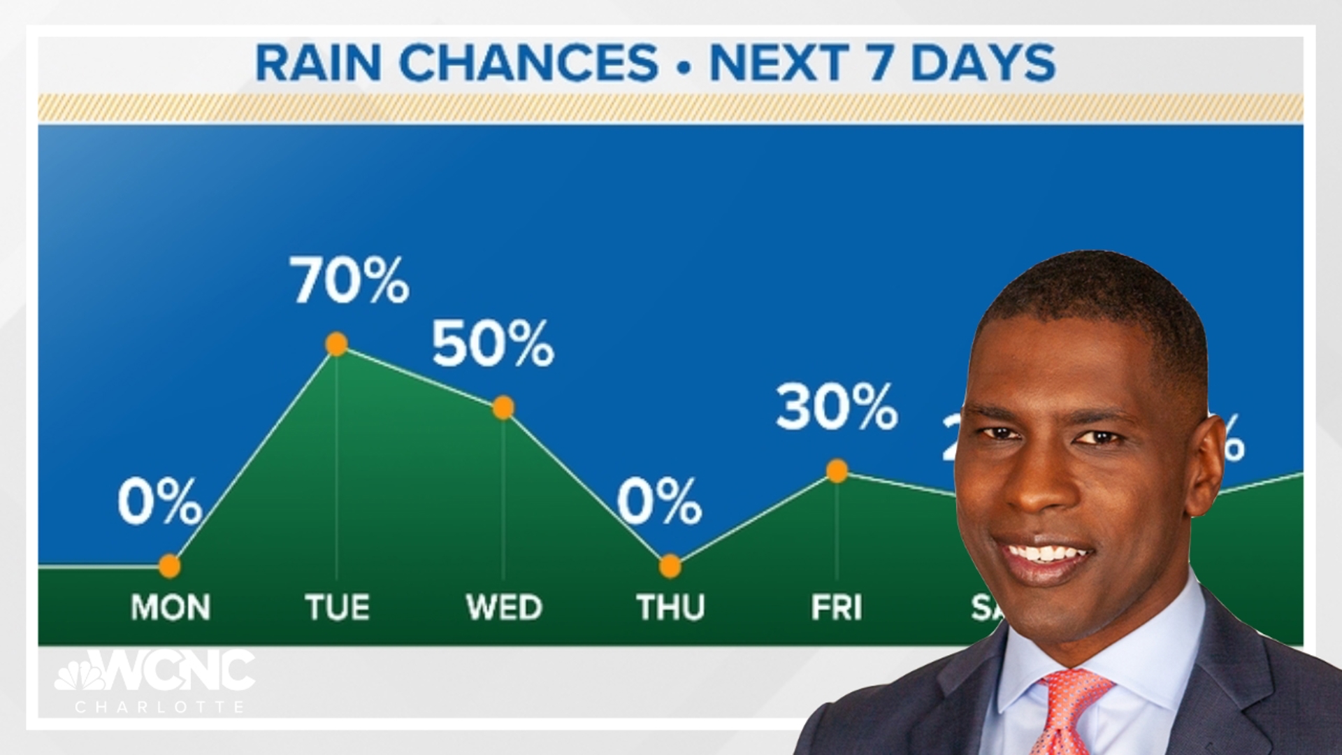
Tuesday is expected to be the last sunny and mild day for at least a week, according to chief meteorologist Brad Panovich. Isolated showers on Wednesday and Thursday will bring even more rain before a shot of cold air cools the Carolinas over the weekend.
"This system's not in a big hurry," Panovich said. "As we go into next week, colder air's going to be diving into the U.S. and that's going to set the stage for a very high chance for below-average temperatures."
And the change in the weather pattern is right on cue.
"March is always a crazy month, probably the wildest weather month in the Carolinas," Panovich explained.
Since the start of September, it's rained 71 days in Charlotte, making for the wettest autumn and winter on record. Panovich said Charlotte's gotten more rain since September 1 than the entire years of 2016, 2012, 2010, 2007, 2001 and 2000.
With all that moisture, you might be wondering why there hasn't been snow. Well, the reason is simple. There hasn't been enough cold air. There's a chance that could change in the middle of next week, but Panovich thinks it's still too early to say for sure.
Panovich said the active storm track to the south will meet the polar jet stream in the south, giving the Carolinas a chance for wintry weather.
"Next week, these two are going to be in place for the potential, or at least the pattern for the potential for something to develop in the southeast," Panovich said.
"We're a long ways out but there's no doubt we're in that pattern recognition now and something to stay tuned for as we get to the middle of next week."