CHARLOTTE, N.C. — The risk of severe storms in the Charlotte area trended lower for Friday evening.
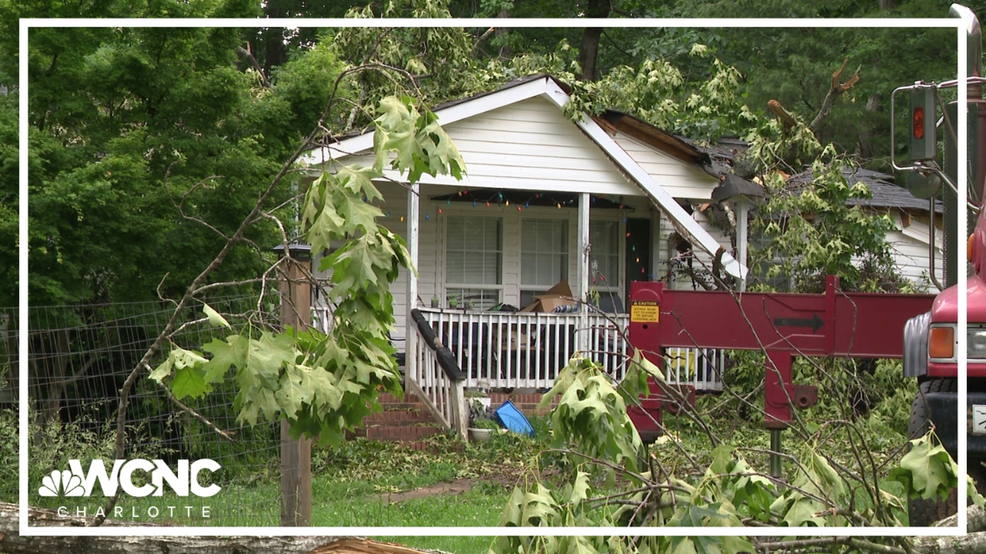
This latest round of storms came only three days after a historic storm system that knocked the power out for hundreds of thousands of people across the Carolinas, caused widespread wind damage and even produced a deadly EF-1 tornado in Catawba County.
In good news, Friday's weather was very different than what the area saw on Tuesday. This system, for one, didn't last as long, did not have as strong of winds, and rain totals are far lower.
INTERACTIVE RADAR: See where the storm is right now
Winds
Wind gusts ranged from 45 to 55 mph and above through the day on Tuesday and lingered overnight. This Friday event brought another windy day, but winds outside of any thunderstorms ranged lower, closer to the 30 to 40 mph.
While those gusts are lower in intensity, that's still strong enough to bring down some shallow-rooted trees since the soil is still saturated from Tuesday's downpour.
RELATED: Weather IQ: What causes wind?
More rain and flood potential
Tuesday's rain event was a record day for Charlotte, breaking the previous record set back in 1921.
For the latest weather alerts, download the WCNC Charlotte mobile app and enable push notifications.
Right now, there is only a low potential for flooding, but flooding remains a concern as we consider the recent rainfall totals from previous systems. Rain should be less than an inch across the area, but there are some higher amounts that could peak up to 1 to 2 inches along heavier downpours. This event is not lasting as long and does not have the same widespread rain set up.
Meanwhile, area rivers and creeks levels will gradually drop below moderate and minor flood stage.
Severe storms
The high threat for severe storms, per the Storm Prediction Center, has dropped to low, as no instability is making it into our area. The only risk is from non-thunderstorm winds and gusty winds overnight.
Timing
Friday morning and early afternoon hours was dry. However, storms started hitting in the late afternoon and evening hours of the day.
WCNC Charlotte’s Weather IQ YouTube channel gives detailed explainers from the WCNC Charlotte meteorologists to help you learn and understand weather, climate and science. Watch previous stories where you can raise your Weather IQ in the YouTube playlist below and subscribe to get updated when new videos are uploaded.