
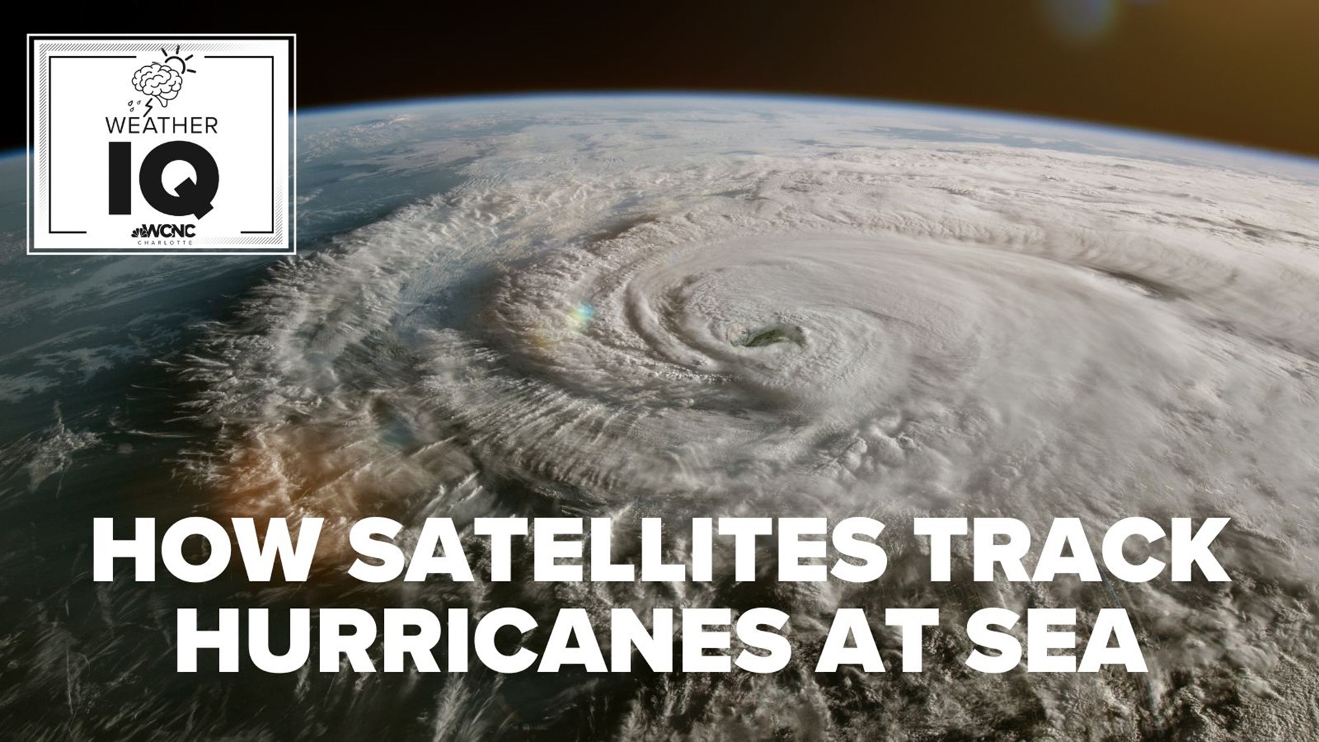
CHARLOTTE, N.C. — Thousands of satellites are currently orbiting planet Earth, including some used to track major weather events. Like another set of eyes orbiting 22,000 miles above the Earth's equator, meteorologists rely on these tools to help them provide accurate and timely forecasts -- especially during the hurricane season.
“Before we had satellites, we used to sometimes send aircraft out – reconnaissance aircraft out maybe to find the tropical waves, try to find storms, that’s why they are called hurricane hunters. They literally used to hunt for these storms," Dan Brown with NOAA's National Hurricane Center explained. "Now with satellites, we’re able to monitor around the clock, each day, where these waves are located [and] if that thunderstorm activity is becoming more organized, and if that system might go on to develop.”
Without satellites, observations over the remote locations of the Atlantic Ocean would be limited to aircraft or ships. Land-based weather radars have a maximum range of nearly 150 miles. The usefulness of radar beyond that range is exceeded.
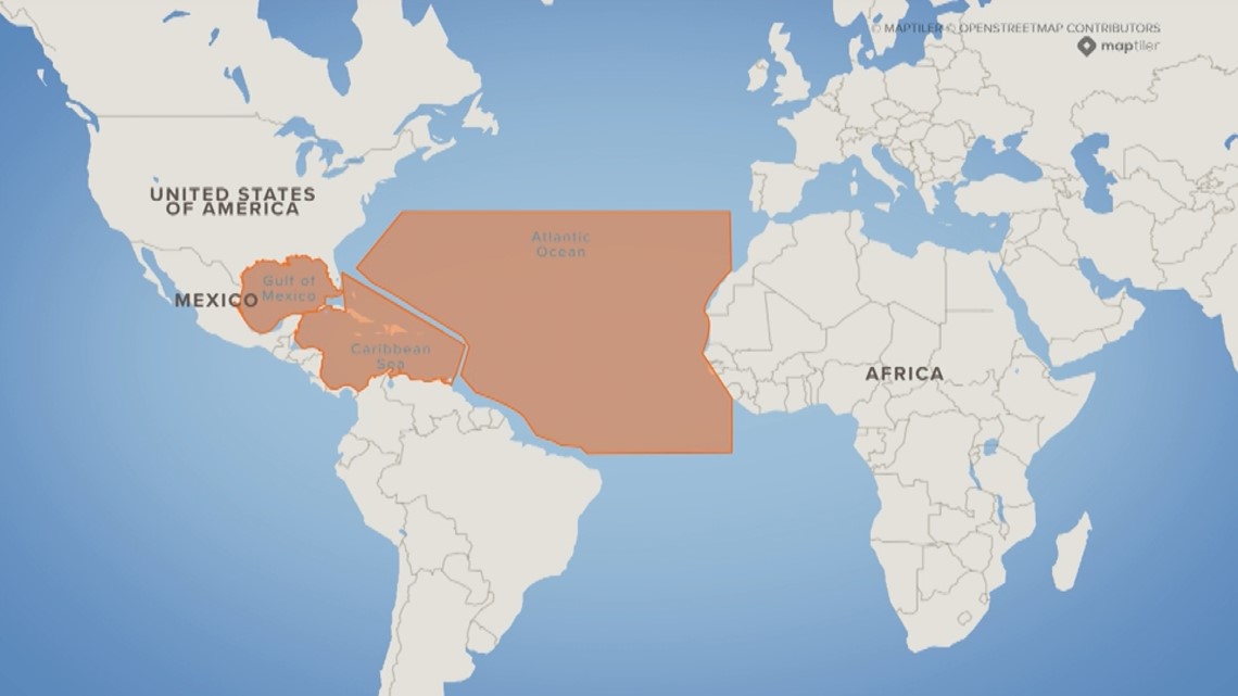
Areas of potential tropical development
Satellites are constantly scanning the plant. To monitor for potential tropical development, satellites scan key areas, including the Gulf of Mexico, the Caribbean Sea, and the rest of the Atlantic Ocean extending to the western coast of Africa.

Types of weather satellite images
There is a variety of imagery produced by weather satellites. Three of the most common satellite imagery are called:
- Visible
- Infrared
- Water Vapor
Visible satellite imagery
Visible imagery can only be seen during the day because it observes reflecting sunlight from the Earth’s surface.
Infrared satellite imagery
Infrared images can be used at both day and night since infrared doesn’t rely on sunlight. Instead, its sensors measure heat that radiates from the clouds.
Water vapor satellite imagery
Water vapor imagery helps indicate where heavy rain is possible based on the amount of moisture in the upper atmosphere.
Scanning the skies
The Western Hemisphere is scanned every 15 minutes, the continental United States every five minutes, and GOES-16 can provide images of severe weather every 30 seconds, as needed. (GOES-16 is one of two full-time geostationary satellites parked over the United States that jointly scan the country and adjacent coastlines.)
Intensity measurement
“We at the hurricane center, we use one [satellite] enhancement used to help estimate the intensity of storms. It’s a specific enhancement that looks at how cold those cloud tops are around the eye [and] how warm is that eye, "Brown explained referencing the center of a tropical storm or hurricane. "From that, we can help determine how strong the storm is."
Satellites allow meteorologists to monitor a storm throughout its entire lifecycle: From formation through landfall.
For the latest weather alerts, download the WCNC Charlotte mobile app and enable push notifications.
Funding weather satellites
“Satellites are so vitally important to what we do. We’re constantly updating satellites," Brown explained. "They’re launched every few years, and there often spares onboard if we have issues with a satellite. It’s an investment NOAA makes to better predict the weather."
GOES-R, the current series of weather satellites that include GOES-16, has a total lifecycle budget of $10.8 billion, according to NOAA. That cost includes the entire life of the development, launching, operation, and eventual decommissioning of the four satellites in the GOES-R Series. The lifespan extends spans more than 30 years from 2005-2036.
KJ Jacobs at kjacobs3@wcnc.com and follow him on Facebook, Twitter and Instagram.
WCNC Charlotte’s Weather IQ YouTube channel gives detailed explainers from the WCNC Charlotte meteorologists to help you learn and understand weather, climate and science. Watch previous stories where you can raise your Weather IQ in the YouTube playlist below and subscribe to get updated when new videos are uploaded.