
CHARLOTTE, N.C. — As of 5:50 PM EDT, all warnings have been canceled for the viewing area as storms continue to move quickly towards the east. We will soon see the remainder of the severe thunderstorm watch canceled for the rest of the viewing area as conditions will rapidly improve as winds switch around to out of the northwest and drier air filters into the region.
Chief meteorologist Brad Panovich said there's a chance not everyone will see storms Thursday. But if you do, they're likely going to be strong.
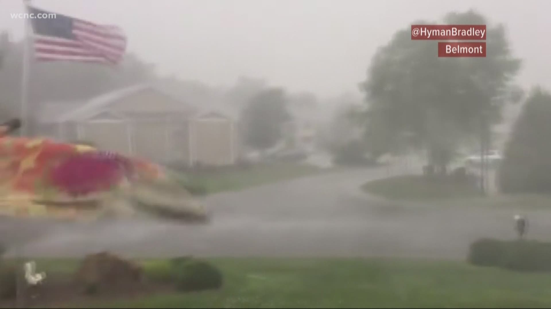
"You could get missed on this completely," Panovich said. "Just know if you see a storm today, the chances of it being severe are pretty high right now, especially for damaging winds."
Panovich said the tornado threat, while not zero, is really low for our area. Future models indicate one small area of possible rotation but it's well south of the Charlotte area.
"If we get a tornado, it's because we get a quick spin-up embedded in one of these lines as it pushes through the area," Panovich said. "It's not zero, but as I mentioned the bigger issue is straight-line winds of 50 mph and higher."
The heaviest rain could be falling up to 2 inches per hour with some of the storms. The National Weather Service currently has the Charlotte area under an enhanced threat for severe weather Thursday afternoon.
"The Charlotte metro, that includes the entire NBC Charlotte viewing area, something to think about this afternoon, in particular," Sprinkle said.
After Thursday's storms, we're looking at a warm and dry start to summer. Friday is the first official day of summer and Sprinkle said we can expect highs in the upper 80s. The weekend is expected to see temperatures in the low 90s with the possibility of stray thunderstorms.