
CHARLOTTE, N.C. — As the National Weather Service continues to investigate storm damage across the Charlotte metro area from severe weather Thursday, officials have confirmed a tornado did touchdown Thursday in Gaston County.
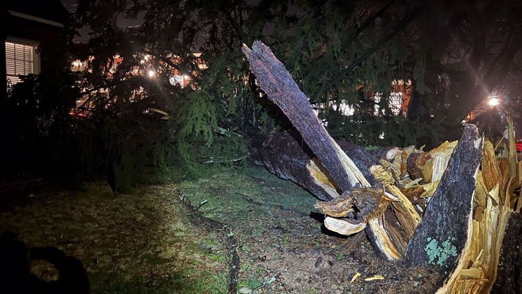
Storm surveyors found damage consistent near Stanley with at least an EF-0 tornado Friday. The storm, which prompted meteorologists to issue a tornado warning Thursday, had winds of at least 75 mph as it stayed on the ground for at least 6 miles.
A storm survey Friday conducted by the National Weather Service found the tornado reached the ground near Old Willis School Road and traveled east. It crossed Highway 27 on the south side of Stanley. The storm continued east before dissipating just east of Stanley-Lucia Road.
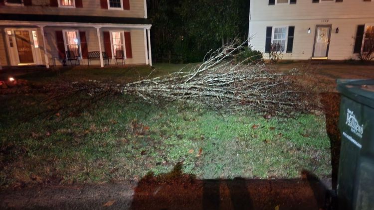
Numerous trees fall along the 6-mile path of the tornado.
The storm is the same storm that WCNC Charlotte was tracking live on television Thursday evening.
The National Weather Service is continuing to review storm damage elsewhere across the area from the Thursday storms.
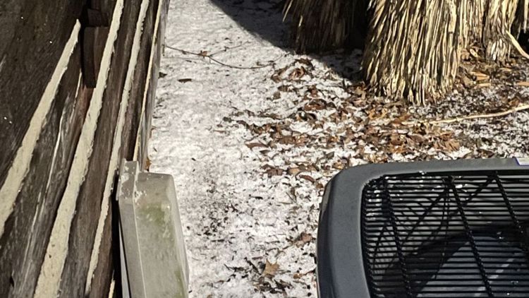
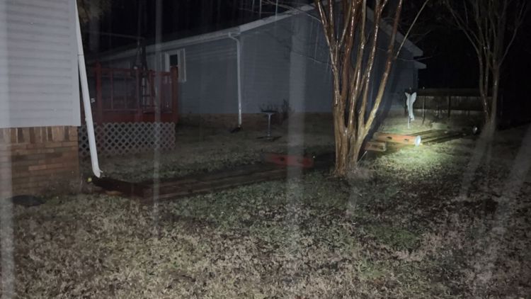
YOUR PHOTOS: Storm rolls through Charlotte area Jan. 12, 2023


The biggest threats during Thursday's storms were heavy rain and damaging winds. There was also a risk of spin-up tornadoes along the leading edge of the front as it moved over the Carolinas Thursday.
Behind the front is something totally different: The North Carolina mountains are expecting snow with heavy snowfall possible from Thursday night through Friday. Higher elevations could see up to 5 inches, while areas around Blowing Rock and Boone are expecting somewhere around 2 inches of snow. Charlotte won't see any snow, but we're expecting a much cooler weekend with chilly temperatures.
Damages reported via the National Weather Service
The National Weather Service Greenville-Spartanburg is planning on surveying damage in Gaston County on Friday. The following damage reports are from the National Weather Service.
Cleveland County, NC
- A 911 call center reported a tree had fallen on a vehicle in Boiling Springs, according to the National Weather Service.
- A 911 call center reported a fallen tree blocked a road in Boiling Springs. It's not clear if it is the same tree reported to have fallen on a vehicle.
- A 911 call center reported multiple trees down on Goode Road in Mooresboro.
- A 911 call center reported multiple trees and powerlines were down in Cleveland County and downtown Shelby.
Cabarrus County, NC
- A social media report indicated a tree was down in Harrisburg.
Lincoln County, NC
- A 911 call center reported multiple trees and powerlines were down in Lincoln County.
- A trained spotter reported multiple trees down in Iron Station on Highway 27 near Randleman.
Gaston County, NC
- A 911 call center reported multiple trees were down in Serenity Woods in Bessemer City.
- A 911 call center reported multiple trees, powerlines and blown transformers across Gaston County.
Iredell County, NC
- A fire department or rescue team reported multiple trees down in the southern part of Iredell County.
- A fire department or rescue team reported a downed tree was blocking the highway at the intersection of Moose Club Road and Skyuka Road.
- A fire department or rescue team reported multiple trees were down on Wintrow Creek Road in Troutman and Shinnville Road.
Mecklenburg County, NC
- An emergency manager reported a tree down on a house at Tall Oaks Trail in Charlotte.
- A social media report indicated a tree was down in Mint Hill.
York County, SC
- An emergency manager reported a tree on a house off Briarwood Drive near Clover.
- A social media report indicated power lines were down between York and Clover.
Live interactive radar
Snow Forecast
Behind this front, colder air will filter in, which will lead to snow in the high country. Charlotte and surrounding areas will be precipitation free by the time it is cold enough for snow.
Snow will start late Thursday night and be on and off through Friday, ending by late evening, which is great news for skiers and snowboarders. A second round will add more accumulation Friday night into Saturday morning!
Snow Totals
Totals will peak around 4 - 6 inches for areas 5,000 ft and above, including Beech Mountain, Sugar Mountain, and Grandfather Mountain.
1 - 3 inches are possible for areas like Banner Elk and Gingercake Mountain. Blowing Rock and Boone are closer to 1 - 2 inches with lower totals for places like Jefferson and Valle Crucis.